

Programmes
24 Sep 2026
Are We Living in an Era of Green Colonialism?
During the age of empires, the colonisation of the Global South by imperial powers in Europe was done not only to expand their territories beyond their borders but also to exploit the colonised for their natural resources. These resources usually came in the form of precious metals and minerals, agricultural products, and human labour; which the empires deemed necessary to build influence, wealth, and strength. By the end of World War 2, these empires began to disintegrate, as colonies began to seek independence which continued beyond 1945. This shift led to the creation of a new world order centred less on empire and more on democratic rule. Although the age of empire ended, a new era of neo-colonialism was born, where former colonisers aimed to continue to obtain resources from former colonies.
Instead of colonising, former empires, great powers, and multinational corporations indirectly controlled newly independent states through economic and trade agreements, financial reliance, and foreign aid. One area in which old colonial structures and legacies are still prevalent is the Global North’s acquisition of critical minerals and rare earths from the Global South to fuel the transition from fossil fuels as an energy source to renewable energy. This exploitation is defined as green colonialism, where the Global North exports the environmental and social costs of the green transition onto states and indigenous people in the Global South. The term green colonisation is justified, as it is a combination of external control, constrained policy autonomy, unequal bargaining and uncompensated costs the Global North forces onto the Global South. This can be explained by the Global North extending the economic and social costs of green transitions to mineral-rich states while reducing the economic value of these states, leading to a colonial economic structure, which can be challenged by a resource rebellion in the form of resource nationalism, industrial policy, and contractual renegotiation if colonial conditions persist.
Programmes
8 Sep 2026
From Dependency to Influence: How the Global South Changed the United Nations’ Map?
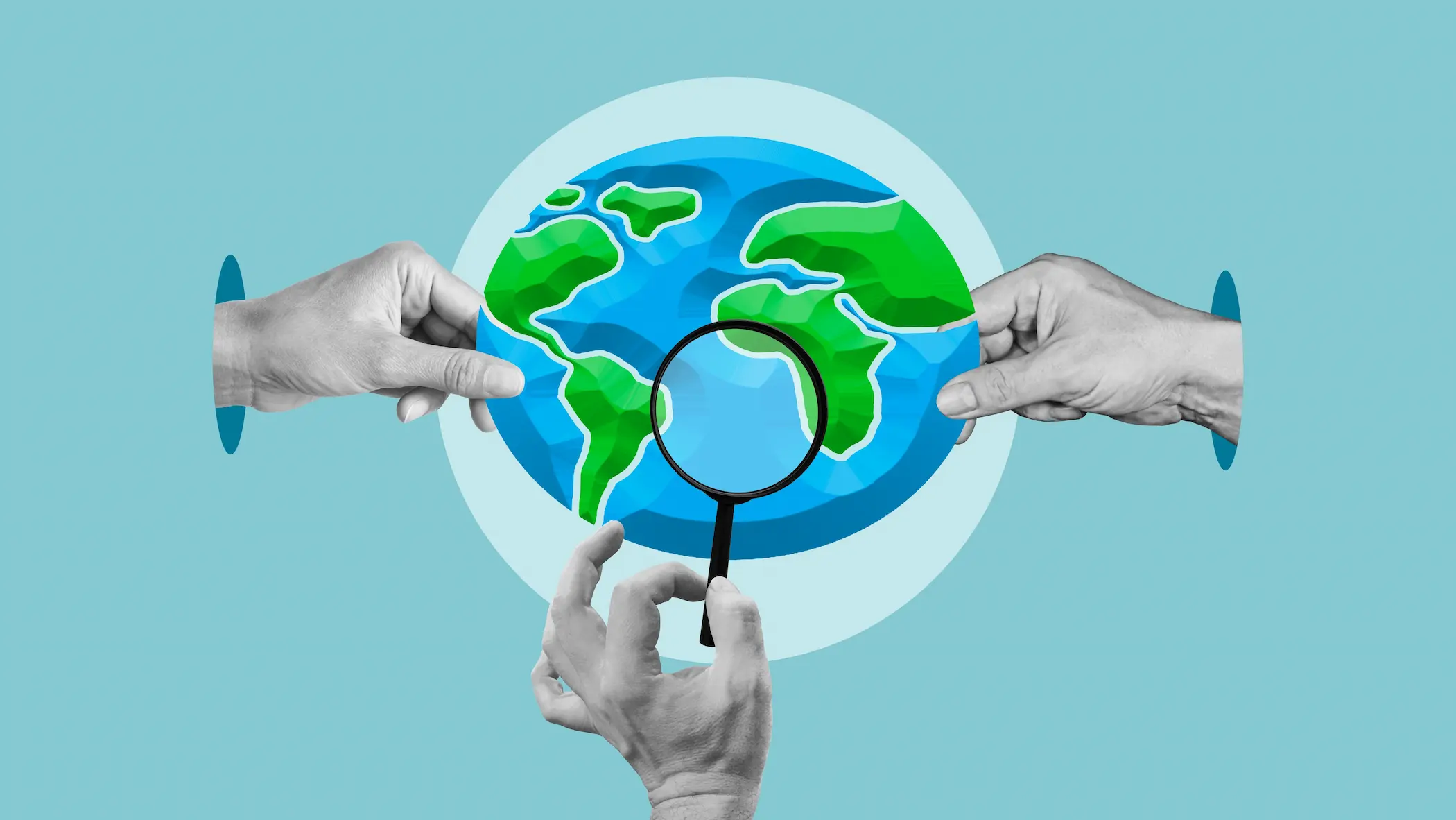
The United Nations General Assembly’s resolution on ‘Correct the Map’ extends beyond the technical debate over map projections. It reveals a new arena of symbolic contestation in which countries of the Global South are seeking to renegotiate how the world is represented. The resolution encourages the use of equal-area projections, particularly Equal Earth. It neither prescribes a single map nor alters national borders but confers explicit UN legitimacy on a longstanding African demand: that the continent should not be depicted in education, the media or international institutions in ways that diminish its spatial weight relative to northern regions. Viewed in this light, the vote represents more than a geographical correction. It marks a political breakthrough in ‘visual governance’, where knowledge intersects with power and the image of the world presented to the public becomes a matter for negotiation within the multilateral system.
This initiative comes at a time when countries of the Global South are increasingly able to place questions of identity and representation on the international agenda. The resolution’s adoption demonstrates that soft power operates not only through culture and discourse but also through the standards that shape public knowledge. Changing a map projection will not, in itself, redirect investment or reconfigure supply chains. It does, however, provide a narrative instrument through which countries in Africa, Latin America and South Asia can highlight the scale of their markets, the reach of their corridors and their position within global resource and trade networks. ‘Visual emancipation’ thus offers a means of presenting the South’s geoeconomic weight anew: a framework that helps make its material sources of power more visible and encourages them to be taken more seriously.
Throughout history, maps have been among the most influential instruments of epistemic authority. They serve practical purposes in navigation and administration, while also determining what occupies the centre, what appears at the margins, how borders are drawn and how places are named. Cartography has therefore been inseparable from the state and empire. Maps have been used in surveying, taxation, military campaigns and the delineation of spheres of influence, helping to turn geographical space into a domain that can be administered and controlled. Every map carry, alongside its data, assumptions about purpose, scale, projection and the viewer’s standpoint. Reading a map consequently requires more than asking whether it is accurate. It demands a more political set of questions: accurate for what purpose, who chose this way of depicting the world, and what perceptions does that choice entrench when it becomes a widely accepted standard?
Since the sixteenth century, the Mercator projection has occupied an exceptional position in world cartography. Designed primarily for navigation, it preserves angles and represents constant bearings as straight lines but increasingly exaggerates area towards the poles. The problem lies in its adoption as a general image of the world in classrooms, the media and digital platforms, including settings where comparing areas is the principal objective, rather than in its use for the task for which it was designed. The consequences are particularly clear in the comparison between Africa and Greenland. On many Mercator maps, they appear similar in size, whereas Africa covers approximately 30.37 million square kilometres, nearly fourteen times Greenland’s roughly 2.17 million square kilometres. Repeated across generations, this image does not create political marginalisation on its own but supplies it with a visual language consistent with the North’s centrality in the global imagination.
The Correct the Map resolution, led by Togo on behalf of the African Group and supported by the African Union, brings this objection into an international institutional framework. The General Assembly adopted the text contained in document A/80/L.104 with 164 countries voting in favour, the United States alone voting against, and six abstentions. The political significance of this outcome lies in the breadth of support beyond Africa and the countries traditionally associated with the Global South, encompassing European states and international powers with divergent interests. The resolution is not legally binding and does not affect sovereignty, borders or the legal status of disputed territories. It does, however, call on educational institutions, the media, international organisations and digital platforms to give serious consideration to projections better suited to depicting relative areas. Its principal strength therefore lies in transforming ‘visual justice’ from an African advocacy campaign into an international norm capable of wider adoption.
Programmes
12 Feb 2026
Food Weaponisation: Building Food Resilience in the Global South
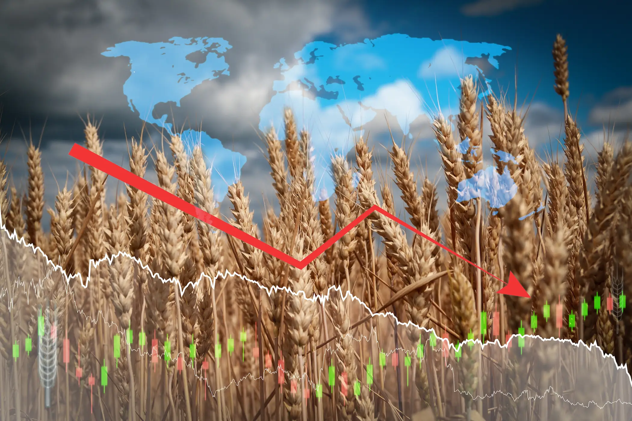
Food commodities are becoming strategic resources, increasingly viewed as important as oil and gas. Food is used as a tool of political control, where food export control or bans influence countries' behaviour and policy outcomes. For instance, Russia's actions in the Black Sea’s exports caused price spikes and forced strategic changes to the Black Sea Grain Initiative in favour of Moscow. The Russia-Ukraine ًar has showcased how food can be used as a weapon and how major food importers, like Egypt, have faced direct vulnerabilities impacting their food supply.
As governments continue to weaponise food supply to leverage their position in warfare and as climate change worsens, countries will increasingly treat food as a national security issue and reshape alliance-building. Countries could be more likely to depend on food weaponisation tools, as they appear to be effective in ongoing conflicts. Hence, the Global South and food importers are in danger of being exposed to increased starvation and political control from food exporters and wealthier nations that control food systems. The forecasts incite these countries to re-evaluate their strategies to curb the risk of food insecurity.
Programmes
17 Jul 2025
BRICS Summit 2025: Between Expansion and Caution
The 17th BRICS Summit convened in Rio de Janeiro on July 6–7, 2025, against the backdrop of accelerating geopolitical realignments. Under Brazil’s presidency, the summit sought to reenergize the bloc’s collective agenda, positioning BRICS as a more prominent actor in global affairs. Key declarations were issued, and the membership base was broadened—yet a cautious diplomatic tone accompanied these developments. The gathering appeared less as a turning point and more as a carefully choreographed exercise in articulating a shared vision for a multipolar world, tempered by the bloc’s internal complexities and external constraints.
Despite its symbolic achievements, the summit was marked by apparent limitations. The absence of certain high-profile leaders, coupled with underlying political divergences and institutional fragmentation, curtailed expectations for transformative decisions or a unified policy front. These constraints highlighted the gap between BRICS’s aspirations and its current capabilities. This analysis provides a focused examination of the outcomes of the 2025 BRICS Summit, assessing their implications for the evolving global order and the extent to which the bloc can credibly position itself as an alternative pillar in global governance.