
Publications
8 Oct 2026
Opinion Polls: From a Mirror of Electoral Sentiment to an Instrument for Shaping It
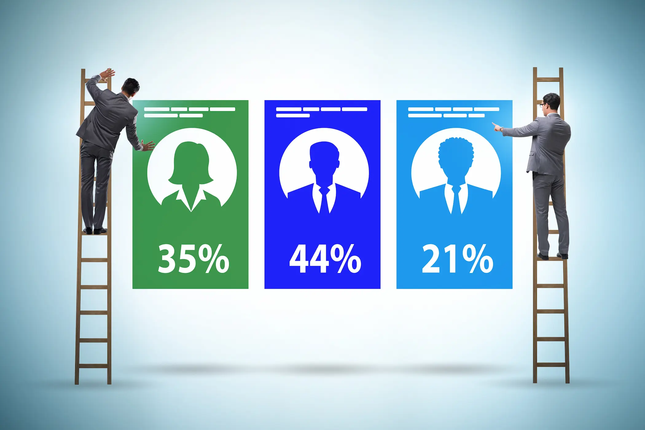
Opinion polls influence the political environment they seek to measure. By shaping perceptions of electability, they affect voters’ choices, media attention, campaign funding and access to electoral competition. The paper examines how these interactions can transform polling from a means of observing electoral sentiment into an instrument for shaping it. Its central finding is that influence does not require fabricated figures: selective publication, concealed sponsorship and the presentation of uncertain forecasts as assured outcomes can turn genuine data into a misleading account of public opinion.
Evidence across several countries illustrates how this influence operates. In the 2018 US General Social Survey, 23.6% of respondents considered spending on ‘welfare’ insufficient, compared with 73.2% when the question referred to ‘assistance to the poor’, demonstrating the significance of wording. During the 2023 Republican presidential debates, the minimum polling threshold rose from 1% to 6%, illustrating how measured support can become a condition for gaining the visibility needed to attract further support. The paper also examines how electoral expectations affect financial markets, drawing on India’s 2024 election and the controversy surrounding privately commissioned polling during the Brexit referendum.
The consequences extend beyond inaccurate predictions. Favourable polling narratives can distort campaign decisions, concentrate resources and narrow the alternatives visible to voters, while disappointed expectations can be exploited to undermine confidence in elections. Artificial intelligence introduces further risks through fabricated responses and synthetic substitutes for human participants. Nevertheless, the paper distinguishes methodological error from deliberate deception and argues that effective safeguards must preserve independent polling. Disclosure of funding, questions, sampling methods and weighting assumptions, alongside responsible reporting and independent scrutiny, can help ensure that polls inform electoral choice without presenting the outcome as predetermined.
Programmes
5 Oct 2026
Clean Commitments, Clean Data Centres?
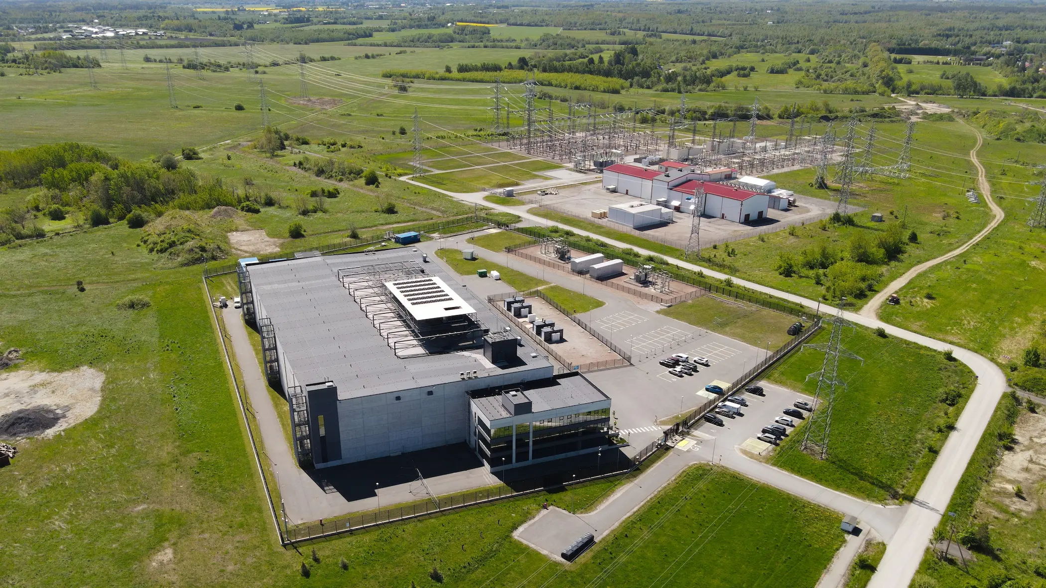
The rapid expansion of artificial intelligence is driving a parallel expansion of the infrastructure on which it depends. Data centres consumed around 415 terawatt-hours (TWh) of electricity in 2024, roughly 1.5% of global demand, and the International Energy Agency's base case projects about 945 TWh by 2030. Governments in the Gulf and Europe have responded by treating data centres as strategic assets while remaining committed to decarbonising their energy systems. Yet a commitment to clean energy does not necessarily amount to clean data centres.
This distinction is becoming increasingly important because the timelines differ so sharply. A data centre can be built in one to two years, whereas transmission takes far longer and new clean generation, nuclear in particular, longer still. When demand arrives before supply, the gap tends to be filled by gas. Ireland illustrates the dilemma: data centres accounted for 23% of its metered electricity in 2025, up from 5% in 2015, and the regulator now requires new large facilities to bring their own generation or storage. The central question, therefore, is whether AI infrastructure and the green transition can advance together.
Programmes
5 Oct 2026
Red Alert: Pneumonic Plague in Siberia
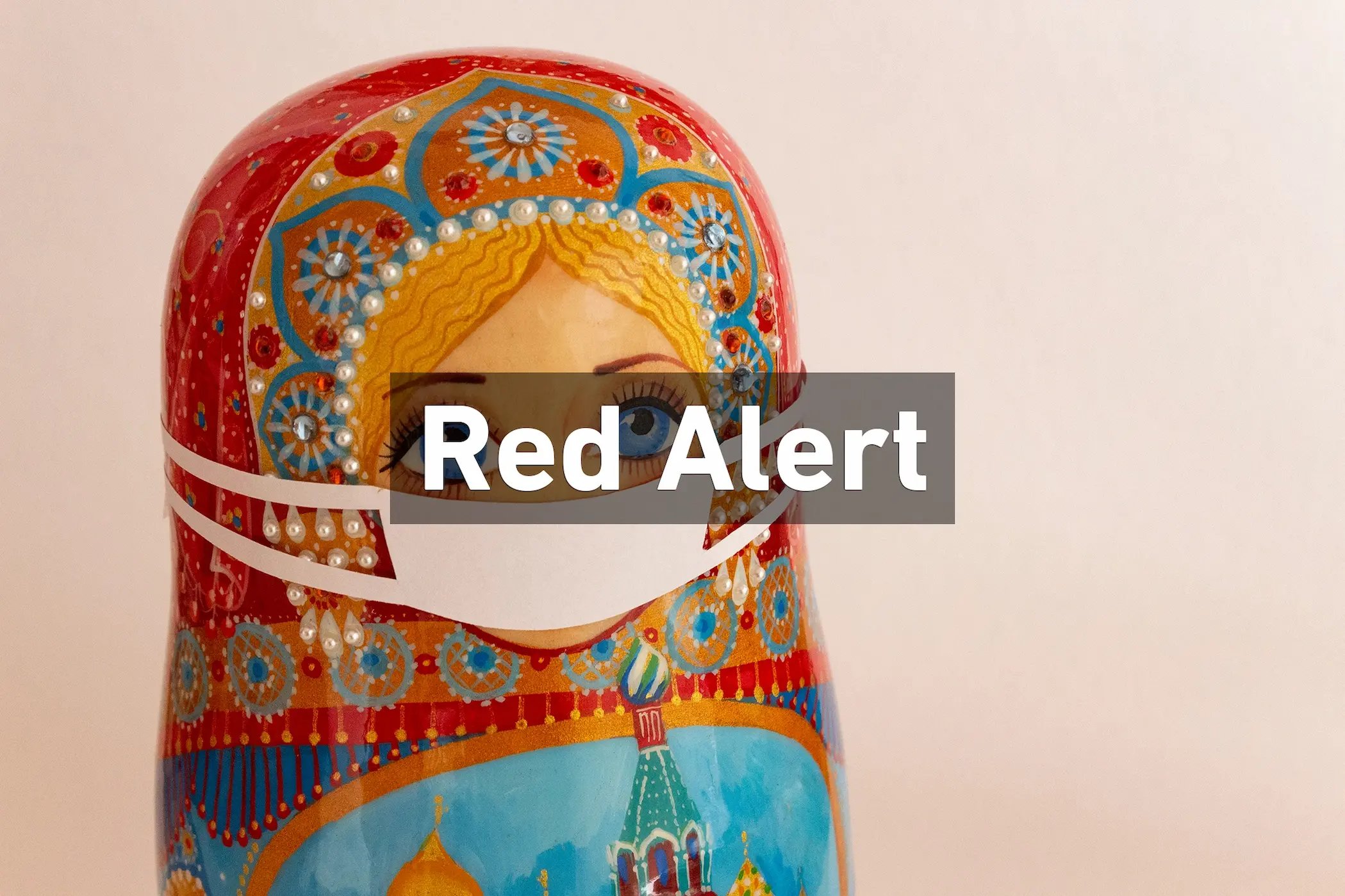
On October 2, the death of a 28-year-old laboratory technician at the Irkutsk Anti-Plague Institute set off emergency measures in Russia. Nearly 200 people have been placed under medical observation, the district hospital in Shelekhov has been quarantined, and Russia's chief sanitary official, Anna Popova, has travelled from Moscow to oversee the response. Moscow's public health watchdog, Rospotrebnadzor, describes the case only as "pneumonia of unknown etiology" and calls the situation in Irkutsk and Shelekhov "stable," while the head of neighbouring Buryatia has said the woman died of plague. This raises a critical question: is this an isolated, contained infection, or the first sign of a pneumonic plague outbreak that Moscow is struggling to manage, and to disclose? Pneumonic plague is the most dangerous form of the disease. It spreads person to person through respiratory droplets, can kill within days if untreated, and is treatable with early antibiotics. That makes the first days of any case decisive and makes official transparency as important as the clinical response.
Programmes
23 Sep 2026
Achilles Shield: Between Diversification and Dependence
Europe is seeking to strengthen its defence capabilities and reduce its long-standing reliance on the United States. This has encouraged European states to increase defence spending, expand domestic production and diversify their procurement partnerships beyond traditional suppliers. Yet diversification does not necessarily amount to strategic independence. Replacing reliance on one external supplier with reliance on several others may reduce concentration risk without giving European states full control over the technologies on which their defence capabilities depend.
This distinction is becoming increasingly important as modern military systems become more dependent on software, data and interconnected command-and-control architectures. A country may possess the physical hardware of a weapons system while remaining dependent on a foreign supplier for critical software, upgrades, maintenance or technological integration. The question of who controls these underlying technologies can therefore be as important as who manufactures or owns the weapon itself.
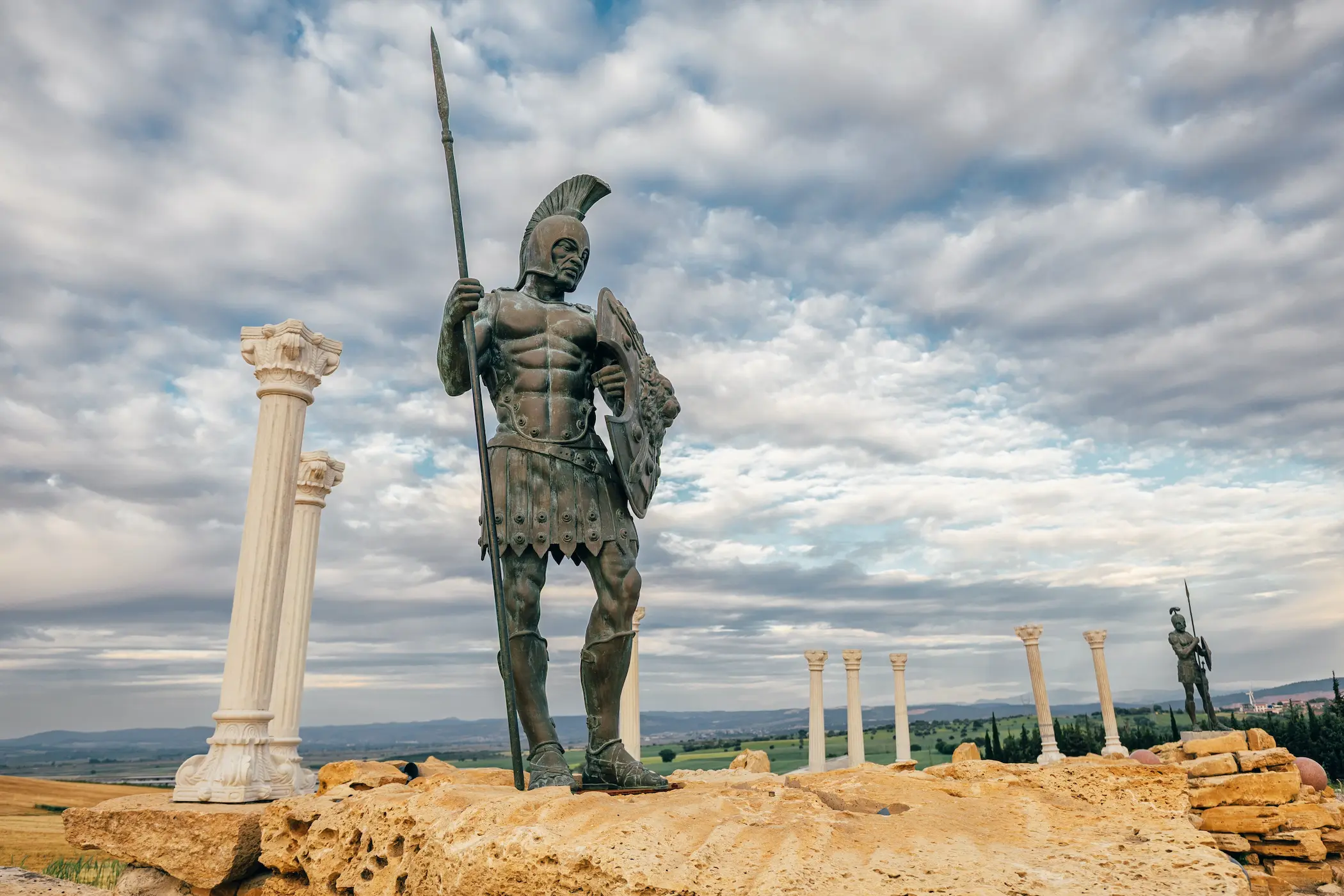
The recent Achilles Shield agreement between Greece and Israel provides a useful illustration of this dilemma. The €3 billion agreement will establish a multilayered Greek air and missile defence network incorporating Israeli systems alongside a Greek-controlled command-and-control architecture. However, a dispute over access to the systems' source code has raised questions over the extent of Greece's technological control. The case highlights a broader issue for European defence: can greater diversification deliver genuine independence if critical elements of military capabilities remain technologically dependent on external powers?

Programmes
20 Sep 2026
Achilles Shield and the Eastern Med Balance
In recent years, the Eastern Mediterranean has witnessed growing attention to air defence, maritime security and infrastructure protection. Against this backdrop, on 31 August 2026, Greece and Israel signed an agreement to develop an integrated air and missile defence network, known as ‘Achilles Shield’, at a cost of approximately €3 billion. The project aims to strengthen Greece’s capacity to detect and intercept aerial and missile threats through a unified early warning, command and control system.
The project forms part of the comprehensive modernisation of the Greek armed forces and does not replace Athens’ commitments within the North Atlantic Treaty Organization or its alliances with the United States and the European Union. The decision to establish this system reflects the changing character of regional military threats, particularly the growing reliance on unmanned aircraft and precision missiles, alongside the continuing development of Turkey’s defence industries in reconnaissance and unmanned maritime and aerial systems.
This analysis therefore examines the implications of the Greek–Israeli agreement and its place within military modernisation programmes. It assesses its potential impact on the deterrence balance between Greece and Turkey, as well as its implications for security cooperation and managing regional tensions in the Eastern Mediterranean in the period ahead.
Programmes
8 Sep 2026
Europe’s Next Battle: The Coming Food Crisis
The last few years in European history can be described as “one battle after another”. From the start of the Russia-Ukraine war to the return of U.S. President Donald Trump for a second term and all of the headache that followed, Europe has found itself dealing with one challenge after another. Now, after years of geopolitical tensions and uncertainty, Europe may be heading towards another battle, one that could hit much closer to home: food. The continent is facing the prospect of a food shortage, and the problem has already begun to take shape.
The reasons behind it span from extreme heatwaves that are having a negative impact on crops and agriculture at large, to war-related disruptions that are affecting key trade routes and food supplies. While all of the above is already bad news for Europe, the worse possibility is that the problem might not stop at European doors and could extend into a global food crisis. Accordingly, what comes next for Europe, and can Europeans secure enough food for their people?

Programmes
8 Sep 2026
From Dependency to Influence: How the Global South Changed the United Nations’ Map?
The United Nations General Assembly’s resolution on ‘Correct the Map’ extends beyond the technical debate over map projections. It reveals a new arena of symbolic contestation in which countries of the Global South are seeking to renegotiate how the world is represented. The resolution encourages the use of equal-area projections, particularly Equal Earth. It neither prescribes a single map nor alters national borders but confers explicit UN legitimacy on a longstanding African demand: that the continent should not be depicted in education, the media or international institutions in ways that diminish its spatial weight relative to northern regions. Viewed in this light, the vote represents more than a geographical correction. It marks a political breakthrough in ‘visual governance’, where knowledge intersects with power and the image of the world presented to the public becomes a matter for negotiation within the multilateral system.
This initiative comes at a time when countries of the Global South are increasingly able to place questions of identity and representation on the international agenda. The resolution’s adoption demonstrates that soft power operates not only through culture and discourse but also through the standards that shape public knowledge. Changing a map projection will not, in itself, redirect investment or reconfigure supply chains. It does, however, provide a narrative instrument through which countries in Africa, Latin America and South Asia can highlight the scale of their markets, the reach of their corridors and their position within global resource and trade networks. ‘Visual emancipation’ thus offers a means of presenting the South’s geoeconomic weight anew: a framework that helps make its material sources of power more visible and encourages them to be taken more seriously.
Throughout history, maps have been among the most influential instruments of epistemic authority. They serve practical purposes in navigation and administration, while also determining what occupies the centre, what appears at the margins, how borders are drawn and how places are named. Cartography has therefore been inseparable from the state and empire. Maps have been used in surveying, taxation, military campaigns and the delineation of spheres of influence, helping to turn geographical space into a domain that can be administered and controlled. Every map carry, alongside its data, assumptions about purpose, scale, projection and the viewer’s standpoint. Reading a map consequently requires more than asking whether it is accurate. It demands a more political set of questions: accurate for what purpose, who chose this way of depicting the world, and what perceptions does that choice entrench when it becomes a widely accepted standard?
Since the sixteenth century, the Mercator projection has occupied an exceptional position in world cartography. Designed primarily for navigation, it preserves angles and represents constant bearings as straight lines but increasingly exaggerates area towards the poles. The problem lies in its adoption as a general image of the world in classrooms, the media and digital platforms, including settings where comparing areas is the principal objective, rather than in its use for the task for which it was designed. The consequences are particularly clear in the comparison between Africa and Greenland. On many Mercator maps, they appear similar in size, whereas Africa covers approximately 30.37 million square kilometres, nearly fourteen times Greenland’s roughly 2.17 million square kilometres. Repeated across generations, this image does not create political marginalisation on its own but supplies it with a visual language consistent with the North’s centrality in the global imagination.
The Correct the Map resolution, led by Togo on behalf of the African Group and supported by the African Union, brings this objection into an international institutional framework. The General Assembly adopted the text contained in document A/80/L.104 with 164 countries voting in favour, the United States alone voting against, and six abstentions. The political significance of this outcome lies in the breadth of support beyond Africa and the countries traditionally associated with the Global South, encompassing European states and international powers with divergent interests. The resolution is not legally binding and does not affect sovereignty, borders or the legal status of disputed territories. It does, however, call on educational institutions, the media, international organisations and digital platforms to give serious consideration to projections better suited to depicting relative areas. Its principal strength therefore lies in transforming ‘visual justice’ from an African advocacy campaign into an international norm capable of wider adoption.
Programmes
1 Sep 2026
Russia’s 2026 Duma: Building the Political Order After Putin
Russia is holding Duma elections between 18 and 20 September 2026 amidst the fallout from its 2022 war in Ukraine and the accompanying economic, political, and security challenges. Several parties are competing in these elections, most notably the ruling United Russia party, which has been in power since 2001.
On the surface, the elections appear to offer little uncertainty. But digging deep, the Kremlin is quietly reshaping the political landscape. The emergence of young, loyal bureaucrats, the mobilisation of presidential aides, and the increasing integration of veterans into the government all point to changes that extend far beyond the mere formation of the next Duma.
This makes it difficult to predict the outcome of the 2026 elections by simply asking who will win. The more important question may lie beyond the ballot itself: What kind of political system is Russia preparing to carry forward? As the war continues to reshape the state, the elite, and the relationship between the Kremlin and society, the new Duma may offer a base to a political order whose most crucial stage has yet to unfold.
Programmes
7 Aug 2026
The Heat Economy: Assessing the Economic Toll of Europe’s 2026 Heatwaves
Europe is no longer just enduring hotter summers; it is absorbing a structural economic blow. With authorities reporting over 13,000 lives lost to severe thermal extremes this season, the crisis has escalated far beyond a public health emergency. As persistent 2026 heatwaves lock the continent in a loop of compressed labour capacity, strained energy grids, and collapsing corporate investment, extreme heat has evolved from a seasonal inconvenience into a multi-hundred-billion-euro drag on potential growth. Beneath the surface of record temperatures lies a complex macroeconomic transmission channel that is quietly reshaping inflation, public debt, and the long-term trajectory of European capital.
Programmes
3 Jul 2026
Red Alert: Will Russia Stage an Armed Provocation Against Poland?
On July 3, reports emerged that the United States has warned Warsaw of a possible Russian armed "provocation" against Poland, designed to test NATO's resolve. According to sources close to Polish President Karol Nawrocki, cited by the Polish outlet Onet, Washington has repeatedly signaled that such an operation could be launched within a matter of months. The scenarios under discussion range from missile or drone strikes on Poland's critical infrastructure to a limited crossing of Russian soldiers into NATO territory. This raises a critical question: is Moscow preparing to directly test Article 5 of the North Atlantic Treaty?
A provocation of this kind would differ fundamentally from a conventional invasion. It would be deliberately calibrated to remain below the threshold of open war — ambiguous enough to sow hesitation among allies, yet aggressive enough to force a response. Though limited in scale, its consequences for European security and the global order could be profound.
Programmes
3 Jul 2026
Are Europe’s Capability Gaps Choosing Its Defence Partners?
Germany "needs new partnerships more than ever," declared Chancellor Friedrich Merz as he opened a tour of Saudi Arabia, Qatar, and the UAE, announcing along the way that Berlin would loosen its long-standing restrictions on arms exports to the Gulf. Such words from a German chancellor would have been unthinkable only a few years ago. Yet the scene fits a wider pattern now visible across the continent: Korean tanks arriving at Polish ports, Turkish drones ordered for Baltic skies, Brazilian transport aircraft entering European fleets, and Gulf sovereign wealth courted from London to Berlin. Europe, long accustomed to a single security patron, is visibly assembling a new roster of defence partners, and officials on all sides describe it as a strategy of diversification. The pattern reaches its most symbolic setting this week, as NATO leaders convene in Ankara, the capital of the very partner Europe has never quite decided how to treat. But strategies imply choice, and choice implies a chooser. The pressing question is: is Europe actually selecting its new partners, or is something else doing the choosing?
Programmes
2 Jul 2026
Contradictions Triangle: How Israel’s Recognition of the Armenian Genocide Reshaped the Geopolitics of the South Caucasus
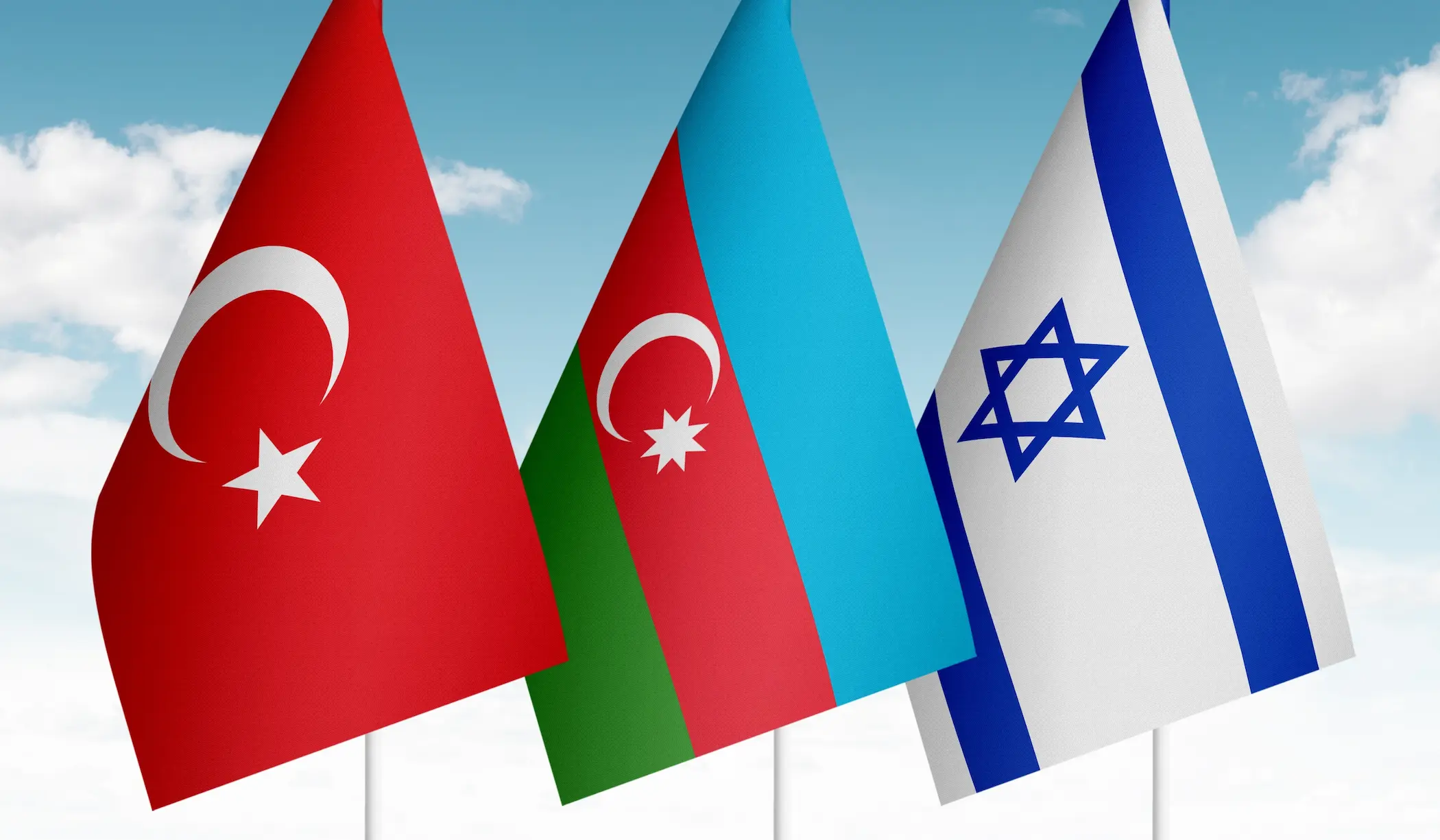
For more than three decades, Israel maintained a policy of strategic ambiguity towards the Armenian Genocide, deliberately withholding formal recognition despite mounting domestic calls—from parliamentarians and academics alike—for a definitive official position. This reluctance was neither accidental nor driven by historical uncertainty. Rather, it reflected a carefully calibrated strategy aimed at safeguarding a complex web of vital national interests. Official silence helped preserve Israel's close strategic partnerships with both Turkey and Azerbaijan, secure the uninterrupted flow of energy supplies and critical trade routes, and protect its sensitive intelligence footprint along Iran's northern frontier.
That strategic equilibrium was abruptly overturned in June 2026, when the Israeli government formally recognised the Armenian Genocide. The decision triggered an unprecedented backlash from Azerbaijan, which swiftly denounced it as a distortion of historical facts lacking any legal or scholarly foundation, while demanding that Israel immediately reverse its position. At that moment, the contours of a profound strategic contradiction came sharply into focus. Although Israel presented the move as a moral and historical obligation, the broader geopolitical context pointed instead to predominantly political and retaliatory calculations. In a single decision, Tel Aviv opened itself to direct confrontation with Turkey and a quieter, yet strategically significant, rift with Azerbaijan, while simultaneously creating an opportunity for Iran to exploit the emerging fractures and weaken Israel's extensive strategic influence along its northern frontier.