
Most Recent
Programmes
5 Oct 2026
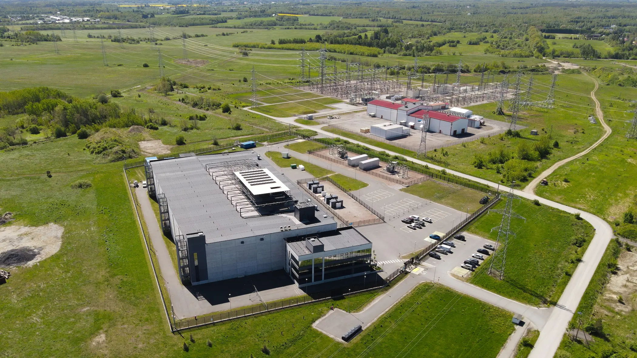
Clean Commitments, Clean Data Centres?
The rapid expansion of artificial intelligence is driving a parallel expansion of the infrastructure on which it depends. Data centres consumed around 415 terawatt-hours (TWh) of electricity in 2024, roughly 1.5% of global demand, and the International Energy Agency's base case projects about 945 TWh by 2030. Governments in the Gulf and Europe have responded by treating data centres as strategic assets while remaining committed to decarbonising their energy systems. Yet a commitment to clean energy does not necessarily amount to clean data centres.
This distinction is becoming increasingly important because the timelines differ so sharply. A data centre can be built in one to two years, whereas transmission takes far longer and new clean generation, nuclear in particular, longer still. When demand arrives before supply, the gap tends to be filled by gas. Ireland illustrates the dilemma: data centres accounted for 23% of its metered electricity in 2025, up from 5% in 2015, and the regulator now requires new large facilities to bring their own generation or storage. The central question, therefore, is whether AI infrastructure and the green transition can advance together.

Programmes
5 Oct 2026
Red Alert: Pneumonic Plague in Siberia
On October 2, the death of a 28-year-old laboratory technician at the Irkutsk Anti-Plague Institute set off emergency measures in Russia. Nearly 200 people have been placed under medical observation, the district hospital in Shelekhov has been quarantined, and Russia's chief sanitary official, Anna Popova, has travelled from Moscow to oversee the response. Moscow's public health watchdog, Rospotrebnadzor, describes the case only as "pneumonia of unknown etiology" and calls the situation in Irkutsk and Shelekhov "stable," while the head of neighbouring Buryatia has said the woman died of plague. This raises a critical question: is this an isolated, contained infection, or the first sign of a pneumonic plague outbreak that Moscow is struggling to manage, and to disclose? Pneumonic plague is the most dangerous form of the disease. It spreads person to person through respiratory droplets, can kill within days if untreated, and is treatable with early antibiotics. That makes the first days of any case decisive and makes official transparency as important as the clinical response.

Programmes
4 Oct 2026
Food or Fuel: The Implications of Biofuels for Global Food Security
The international system faces complex geostrategic pressures that place global supply chains under unprecedented strain. Escalating military tensions, particularly disruptions to shipping through the Strait of Hormuz, are putting pressure on oil and liquefied natural gas flows. In 2025, this passage carried around a quarter of seaborne oil trade and 19% of global trade in liquefied natural gas. These developments coincide with a shift in the Russia–Ukraine conflict towards attacks on energy infrastructure, alongside tighter restrictions on Black Sea shipping and disruptions to key export routes for strategically important grains. This convergence leaves the world caught between declining oil supplies and restricted access to part of the available food supply, complicating procurement and threatening the foundations of national security.
Faced with these shortages and rising shipping costs, some major powers and emerging economies are expanding biofuel production as an instrument of national policy to ease the energy crisis, alongside pursuing environmental objectives and supporting agricultural production. Agricultural producer countries are consequently choosing to redirect part of their strategic crop output, including maize, sugar cane and palm oil, towards biofuel plants to meet transport needs. This analysis advances the hypothesis that expanding biofuels derived from food crops may heighten the vulnerability of importing countries when demand growth outstrips the capacity of production and stocks to accommodate it, while trade policies restrict exportable supplies. The scale of this effect depends on the feedstocks used, the volume diverted and the responsiveness of production. It does not apply to the same extent to fuels produced from agricultural residues or used oils.
Import-dependent countries, particularly in the Middle East and Africa, may bear the cost of these pressures through diminished food security and domestic stability. An inability to secure food can, in this context, undermine social stability and signal the risk of political crises whose severity varies according to institutional effectiveness and the capacity to protect the most vulnerable groups. This complex situation poses an urgent question: how far can importing countries withstand the convergence of energy and food policies, and what protective mechanisms can safeguard their national security as competition intensifies between the use of crops for food and for fuel?
Programmes
25 Sep 2026
The UN and the AI Power Struggle: Who Will Govern the Technology Shaping Global Security?
On 23 September 2026, the United Nations Security Council confronted an unusual development in international security. The people warning governments about the dangers of AI were not only diplomats or military officials, but the executives building the technology itself. OpenAI CEO Sam Altman, Anthropic CEO Dario Amodei, and Hugging Face co-founder Clément Delangue briefed the 15-member Council as governments grapple with increasingly capable AI systems that can write code, operate autonomously, interact with external systems, and potentially improve their own capabilities. Amodei warned that, if poorly managed, “AI could be a risk to humanity as a whole”, while Altman argued that decisions about AI could not be left to technology companies alone.
The meeting was significant because AI is rapidly moving from a technology-policy issue into the domain of international security. Yet the deeper question is not simply how dangerous AI may become. It is who will establish the rules governing a technology increasingly concentrated in the hands of a small number of states and companies. The UN is attempting to become the forum where those rules are debated, but it is entering a contest in which technological capabilities, economic power, national security interests, and competing visions of governance are already shaping the outcome.
Economics, Energy, and Logistics

Programmes
24 Sep 2026
Running to Stand Still: Why LDCs are Falling Behind in Digital Trade?
Least Developed Countries are being left behind in the fastest-growing segment of world trade. While digitally deliverable services now account for over half of global services exports, LDCs capture a vanishing share of that growth, and their position is worsening even as their exports rise in absolute terms. Between 2015 and 2023, their digital-services exports grew 43% in dollar terms, yet their global market share fell over the same period. That divergence is the puzzle this analysis takes up: not why a digital divide exists, which is intuitive enough, but why it keeps widening even as LDCs’ own exports grow. Is this simply a matter of infrastructure catching up over time, or does the digital services economy, with its compounding returns, concentrated capital, and now-fragmenting trade rules, structurally reward early movers in ways that make the gap self-reinforcing rather than self-correcting?

Programmes
10 Sep 2026
Orbital Data Centres and the Limits of National Jurisdiction over Technology Firms
The largest technology firms are moving their data centres into low Earth orbit, having pushed terrestrial infrastructure to the physical and environmental limits of what it can supply in power, cooling and land to an artificial intelligence sector whose demands keep compounding. SpaceX has set the fourth quarter of 2027 for the launch of its first generation of computing satellites, targeting one gigawatt of orbital data centre power capacity in that same year and one hundred gigawatts by 2030. The scale of the pressure behind that schedule is visible in the wider market, where global data centre demand is estimated to require investment approaching €5.7 trillion before the decade closes.
What presents itself as an engineering migration is in substance a redistribution of sovereign authority. Moving processing beyond national territory removes technology firms from the reach of the data localisation rules, compliance regimes and tax frameworks that states have spent a decade constructing. For Arab states the challenge is immediate. Having invested heavily in domestic digital infrastructure and imposed strict data residency requirements, they now face the prospect that the server handling their citizens’ data sits five hundred kilometres overhead, beyond the enforcement reach of their courts.
This analysis therefore examines the economics of moving computation into orbit and the limits of its viability; traces the legal gap that allows technology firms to shelter behind the jurisdiction of the state of registry in order to avoid the laws of every other state; assesses the risks of monopolistic concentration and the environmental costs borne collectively; and identifies the regulatory instruments available to Arab states in defence of their digital sovereignty, chief among them the management of radio-frequency spectrum, satellite landing rights and the supervision of ground gateways.

Programmes
27 Aug 2026
The AI Security Trap: Cheap Attacks, Pricey Defences
Cybersecurity has always favoured the attacker, but AI is widening that advantage. By compressing complex operations into automated decision loops, autonomous agents let a small human team delegate the bulk of an attack's tactical work, reconnaissance, exploitation, lateral movement, to machine tempo, in at least one documented case shifting 80–90% of that labour onto the AI itself. That doesn’t make attacks free, but it does mean cost scales far more slowly with the number of targets than it used to. Enterprises, meanwhile, face the opposite trend: breach costs are climbing, and a new governance-driven Shadow AI tax is compounding them. As automation lowers the labour cost of offense while recovery expenses and regulatory demands rise on defence, the balance of cybersecurity economics is being forced to overhaul itself.
Programmes
26 Aug 2026
Economic Outcast: The Limits of U.S. Secondary Sanctions Against a China-Insulated Iranian Economy
On 24 August 2026, the US Treasury announced an economic enforcement campaign under the name Operation Economic Outcast, designating close to 60 entities, individuals and vessels and issuing five unprecedented sectoral determinations under Executive Order 13902.1 Treasury Secretary Scott Bessent described the campaign as a comprehensive economic onslaught intended to sever every artery feeding the Iranian economy, while Iran's Minister of Economy, Ali Madanizadeh, dismissed it as an act of economic terrorism, insisting that his country has its own instruments and knows the rules of the game.
The significance of the campaign extends well beyond the number of designations. Washington is shifting its weight away from penalising Iranian entities and towards pursuing intermediaries in third countries: independent Chinese refineries, Gulf trading and exchange houses, and settlement channels operating outside the dollar. Yet the record since 2012 reveals a pattern that is close to invariable: sharp friction imposed from the American side, followed by structural Iranian adaptation, in which Iranian exports survive and the American stock of coercive power erodes.
This analysis therefore sets out to dissect the legal architecture of the campaign and identify what is genuinely new within it, then to test its six enforcement tracks against the structural obstacles Tehran has accumulated across four successive waves of sanctions, and finally to estimate the likely impact on the volume of Iranian exports, on the discount imposed on its crude and on the price path, while measuring the cost of compliance that financial and logistics hubs will have to absorb.
Foresight and Early Warning
Programmes
5 Oct 2026
Clean Commitments, Clean Data Centres?
The rapid expansion of artificial intelligence is driving a parallel expansion of the infrastructure on which it depends. Data centres consumed around 415 terawatt-hours (TWh) of electricity in 2024, roughly 1.5% of global demand, and the International Energy Agency's base case projects about 945 TWh by 2030. Governments in the Gulf and Europe have responded by treating data centres as strategic assets while remaining committed to decarbonising their energy systems. Yet a commitment to clean energy does not necessarily amount to clean data centres.
This distinction is becoming increasingly important because the timelines differ so sharply. A data centre can be built in one to two years, whereas transmission takes far longer and new clean generation, nuclear in particular, longer still. When demand arrives before supply, the gap tends to be filled by gas. Ireland illustrates the dilemma: data centres accounted for 23% of its metered electricity in 2025, up from 5% in 2015, and the regulator now requires new large facilities to bring their own generation or storage. The central question, therefore, is whether AI infrastructure and the green transition can advance together.
Programmes
5 Oct 2026
Red Alert: Pneumonic Plague in Siberia
On October 2, the death of a 28-year-old laboratory technician at the Irkutsk Anti-Plague Institute set off emergency measures in Russia. Nearly 200 people have been placed under medical observation, the district hospital in Shelekhov has been quarantined, and Russia's chief sanitary official, Anna Popova, has travelled from Moscow to oversee the response. Moscow's public health watchdog, Rospotrebnadzor, describes the case only as "pneumonia of unknown etiology" and calls the situation in Irkutsk and Shelekhov "stable," while the head of neighbouring Buryatia has said the woman died of plague. This raises a critical question: is this an isolated, contained infection, or the first sign of a pneumonic plague outbreak that Moscow is struggling to manage, and to disclose? Pneumonic plague is the most dangerous form of the disease. It spreads person to person through respiratory droplets, can kill within days if untreated, and is treatable with early antibiotics. That makes the first days of any case decisive and makes official transparency as important as the clinical response.
Programmes
25 Sep 2026
The UN and the AI Power Struggle: Who Will Govern the Technology Shaping Global Security?
On 23 September 2026, the United Nations Security Council confronted an unusual development in international security. The people warning governments about the dangers of AI were not only diplomats or military officials, but the executives building the technology itself. OpenAI CEO Sam Altman, Anthropic CEO Dario Amodei, and Hugging Face co-founder Clément Delangue briefed the 15-member Council as governments grapple with increasingly capable AI systems that can write code, operate autonomously, interact with external systems, and potentially improve their own capabilities. Amodei warned that, if poorly managed, “AI could be a risk to humanity as a whole”, while Altman argued that decisions about AI could not be left to technology companies alone.
The meeting was significant because AI is rapidly moving from a technology-policy issue into the domain of international security. Yet the deeper question is not simply how dangerous AI may become. It is who will establish the rules governing a technology increasingly concentrated in the hands of a small number of states and companies. The UN is attempting to become the forum where those rules are debated, but it is entering a contest in which technological capabilities, economic power, national security interests, and competing visions of governance are already shaping the outcome.
Programmes
23 Sep 2026
Achilles Shield: Between Diversification and Dependence
Europe is seeking to strengthen its defence capabilities and reduce its long-standing reliance on the United States. This has encouraged European states to increase defence spending, expand domestic production and diversify their procurement partnerships beyond traditional suppliers. Yet diversification does not necessarily amount to strategic independence. Replacing reliance on one external supplier with reliance on several others may reduce concentration risk without giving European states full control over the technologies on which their defence capabilities depend.
This distinction is becoming increasingly important as modern military systems become more dependent on software, data and interconnected command-and-control architectures. A country may possess the physical hardware of a weapons system while remaining dependent on a foreign supplier for critical software, upgrades, maintenance or technological integration. The question of who controls these underlying technologies can therefore be as important as who manufactures or owns the weapon itself.
The recent Achilles Shield agreement between Greece and Israel provides a useful illustration of this dilemma. The €3 billion agreement will establish a multilayered Greek air and missile defence network incorporating Israeli systems alongside a Greek-controlled command-and-control architecture. However, a dispute over access to the systems' source code has raised questions over the extent of Greece's technological control. The case highlights a broader issue for European defence: can greater diversification deliver genuine independence if critical elements of military capabilities remain technologically dependent on external powers?
Political and Security Studies
Programmes
4 Oct 2026
Food or Fuel: The Implications of Biofuels for Global Food Security
The international system faces complex geostrategic pressures that place global supply chains under unprecedented strain. Escalating military tensions, particularly disruptions to shipping through the Strait of Hormuz, are putting pressure on oil and liquefied natural gas flows. In 2025, this passage carried around a quarter of seaborne oil trade and 19% of global trade in liquefied natural gas. These developments coincide with a shift in the Russia–Ukraine conflict towards attacks on energy infrastructure, alongside tighter restrictions on Black Sea shipping and disruptions to key export routes for strategically important grains. This convergence leaves the world caught between declining oil supplies and restricted access to part of the available food supply, complicating procurement and threatening the foundations of national security.
Faced with these shortages and rising shipping costs, some major powers and emerging economies are expanding biofuel production as an instrument of national policy to ease the energy crisis, alongside pursuing environmental objectives and supporting agricultural production. Agricultural producer countries are consequently choosing to redirect part of their strategic crop output, including maize, sugar cane and palm oil, towards biofuel plants to meet transport needs. This analysis advances the hypothesis that expanding biofuels derived from food crops may heighten the vulnerability of importing countries when demand growth outstrips the capacity of production and stocks to accommodate it, while trade policies restrict exportable supplies. The scale of this effect depends on the feedstocks used, the volume diverted and the responsiveness of production. It does not apply to the same extent to fuels produced from agricultural residues or used oils.
Import-dependent countries, particularly in the Middle East and Africa, may bear the cost of these pressures through diminished food security and domestic stability. An inability to secure food can, in this context, undermine social stability and signal the risk of political crises whose severity varies according to institutional effectiveness and the capacity to protect the most vulnerable groups. This complex situation poses an urgent question: how far can importing countries withstand the convergence of energy and food policies, and what protective mechanisms can safeguard their national security as competition intensifies between the use of crops for food and for fuel?

Programmes
24 Sep 2026
Are We Living in an Era of Green Colonialism?
During the age of empires, the colonisation of the Global South by imperial powers in Europe was done not only to expand their territories beyond their borders but also to exploit the colonised for their natural resources. These resources usually came in the form of precious metals and minerals, agricultural products, and human labour; which the empires deemed necessary to build influence, wealth, and strength. By the end of World War 2, these empires began to disintegrate, as colonies began to seek independence which continued beyond 1945. This shift led to the creation of a new world order centred less on empire and more on democratic rule. Although the age of empire ended, a new era of neo-colonialism was born, where former colonisers aimed to continue to obtain resources from former colonies.
Instead of colonising, former empires, great powers, and multinational corporations indirectly controlled newly independent states through economic and trade agreements, financial reliance, and foreign aid. One area in which old colonial structures and legacies are still prevalent is the Global North’s acquisition of critical minerals and rare earths from the Global South to fuel the transition from fossil fuels as an energy source to renewable energy. This exploitation is defined as green colonialism, where the Global North exports the environmental and social costs of the green transition onto states and indigenous people in the Global South. The term green colonisation is justified, as it is a combination of external control, constrained policy autonomy, unequal bargaining and uncompensated costs the Global North forces onto the Global South. This can be explained by the Global North extending the economic and social costs of green transitions to mineral-rich states while reducing the economic value of these states, leading to a colonial economic structure, which can be challenged by a resource rebellion in the form of resource nationalism, industrial policy, and contractual renegotiation if colonial conditions persist.

Programmes
20 Sep 2026
Achilles Shield and the Eastern Med Balance
In recent years, the Eastern Mediterranean has witnessed growing attention to air defence, maritime security and infrastructure protection. Against this backdrop, on 31 August 2026, Greece and Israel signed an agreement to develop an integrated air and missile defence network, known as ‘Achilles Shield’, at a cost of approximately €3 billion. The project aims to strengthen Greece’s capacity to detect and intercept aerial and missile threats through a unified early warning, command and control system.
The project forms part of the comprehensive modernisation of the Greek armed forces and does not replace Athens’ commitments within the North Atlantic Treaty Organization or its alliances with the United States and the European Union. The decision to establish this system reflects the changing character of regional military threats, particularly the growing reliance on unmanned aircraft and precision missiles, alongside the continuing development of Turkey’s defence industries in reconnaissance and unmanned maritime and aerial systems.
This analysis therefore examines the implications of the Greek–Israeli agreement and its place within military modernisation programmes. It assesses its potential impact on the deterrence balance between Greece and Turkey, as well as its implications for security cooperation and managing regional tensions in the Eastern Mediterranean in the period ahead.
Programmes
11 Sep 2026
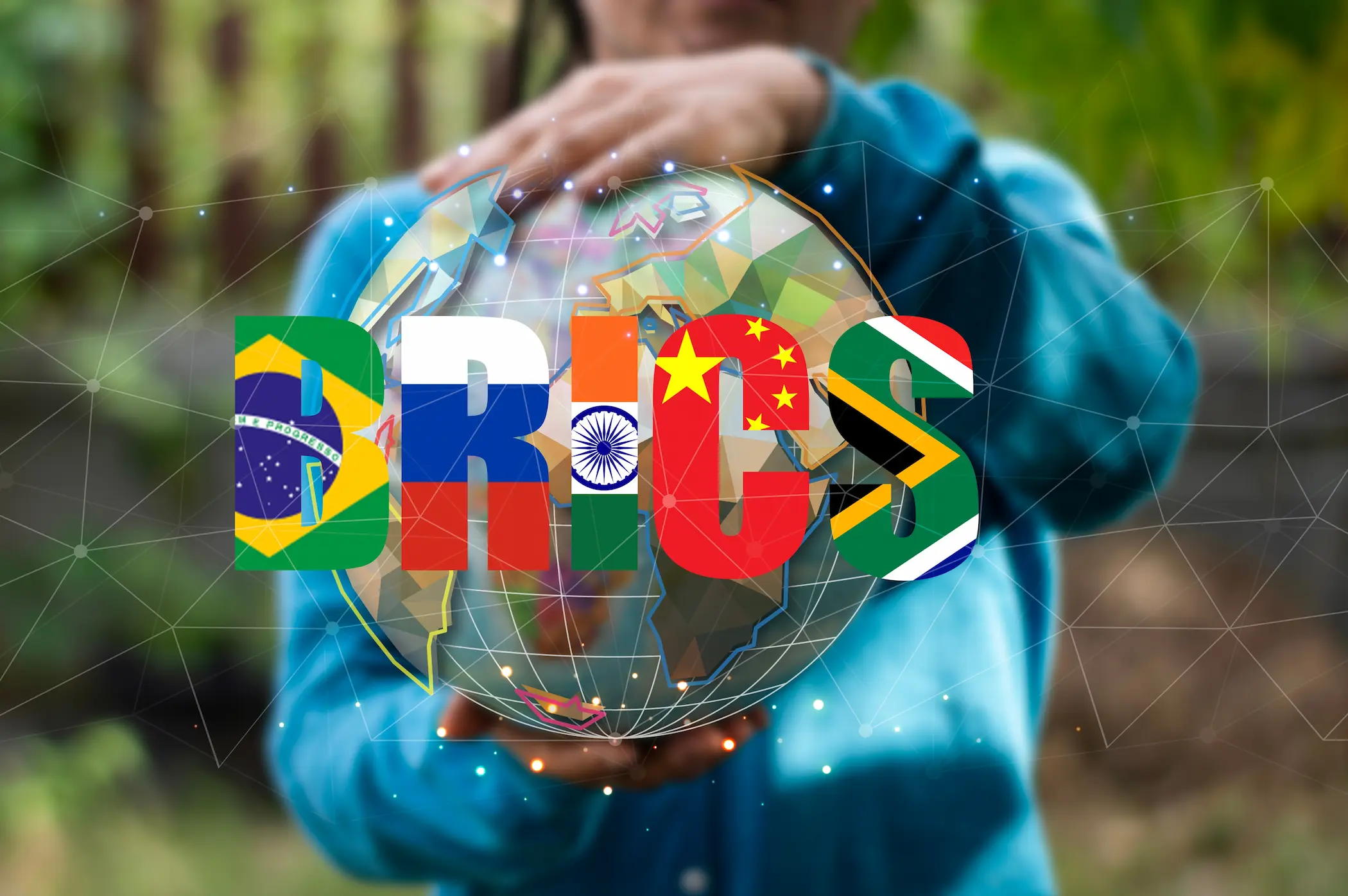
BRICS Without Consensus: Can Selective Cooperation Hold Blocs Together?
India is preparing to host the 18th BRICS summit on September 12–13, 2026, under the theme "Building for Resilience, Innovation, Cooperation, and Sustainability." With the group’s expansion in 2024, incorporating the UAE, Egypt, Ethiopia, and Iran, and Indonesia’s official accession as a full member in 2025, alongside the addition of numerous new partner nations, the diversity of member perspectives regarding issues such as the Middle East, relations with the United States, and the Russia-Ukraine war has grown. Consequently, issue-specific, pragmatic cooperation is emerging as a prominent operational model for the group, moving away from the comprehensive political consensus typical of traditional international and intergovernmental organizations.
Members can now cooperate where their interests align while maintaining divergent stances elsewhere. This suggests that BRICS may be consolidating an alliance-building model that relies less on shared political positions and more on mutual benefit and selective cooperation. This trend is likely to intensify and spread to other cooperative groupings, particularly as political differences persist. Thus, a fundamental question is raised: Can international alliances remain effective in the absence of political consensus, or has selective cooperation become the new foundation for collective action?